

You can find on this page the Monaco topographic map to print and to download in PDF. The Monaco elevation map present the topography, river and relief of Monaco in Monaco.
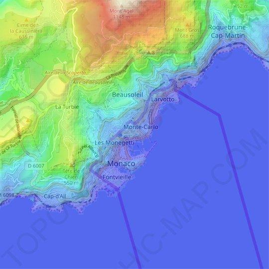
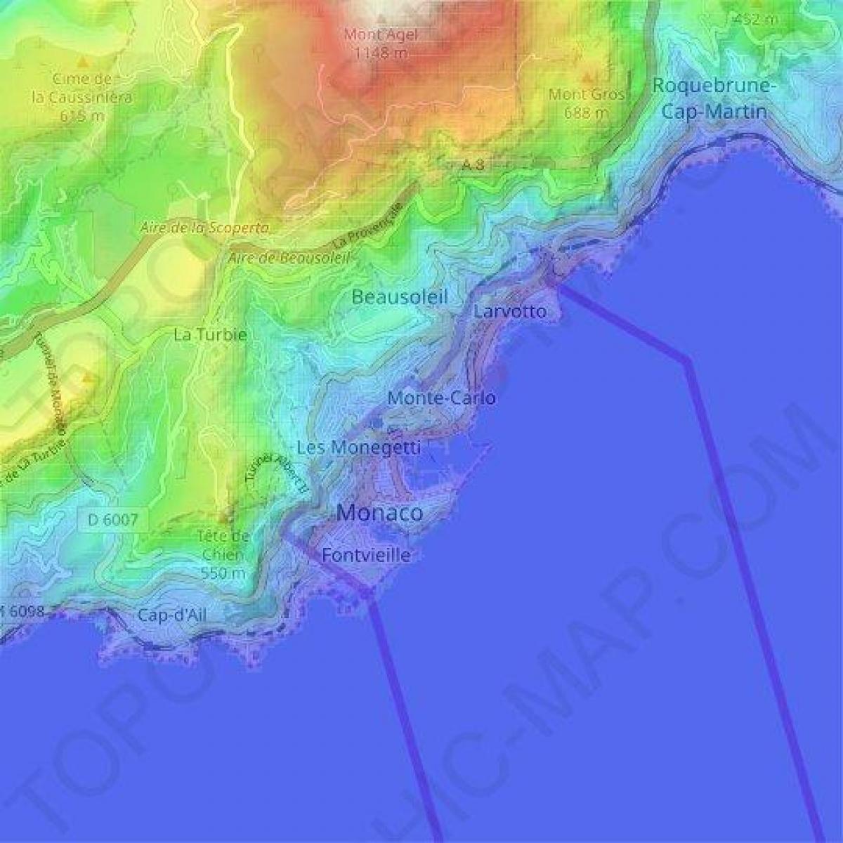
The Monaco topographic map shows elevation, hills and landforms in Monaco. This elevation map of Monaco will allow you to know topography, river and relief of Monaco in Monaco. The Monaco topographic map is downloadable in PDF, printable and free.
The highest elevation point in the country of Monaco is a narrow pathway named Chemin des Révoires on the slopes of Mont Agel, in the Les Révoires district as yu can see in Monaco elevation map, it is 161 meters (528 feet) above sea level. While the lowest elevation point in the country is the Mediterranean Sea, at 0 m (0 ft) below sea leval.
There are four main areas (determined more by economic activity than geographic difference): La Condamine, the business district around the port; Monte Carlo, the site of the famous casino, which is at a higher elevation as its shown in Monaco elevation map; Monaco-Ville, on a rocky promontory about 60 m (200 ft) above sea level; and Fontvieille, a 22 ha (54 acre) industrial area of La Condamine that was reclaimed by landfill in the 1960s and 1970s.
Monaco highest elevation point Chemin des Révoires does not impress. It is located on a street on the border between France and Monaco and is not even marked as its mentioned in Monaco elevation map. If you are looking for a beautiful view, the highest point of Monaco will disappoint you – it lies on an unmarked spot on the border with France and the view is covered by high residential buildings.